Conservation Area
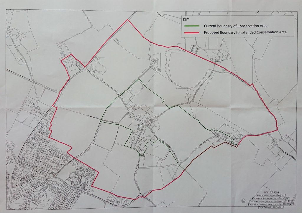
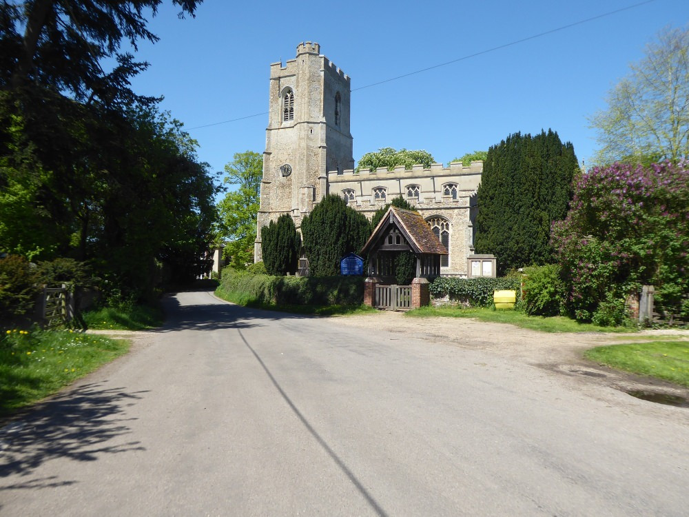
The Conservation Area centres on the Grade-1 listed Church of St. Lawrence, and was expanded in June 2019 following an appraisal by Patrick Taylor. This is a map of the current boundary:-

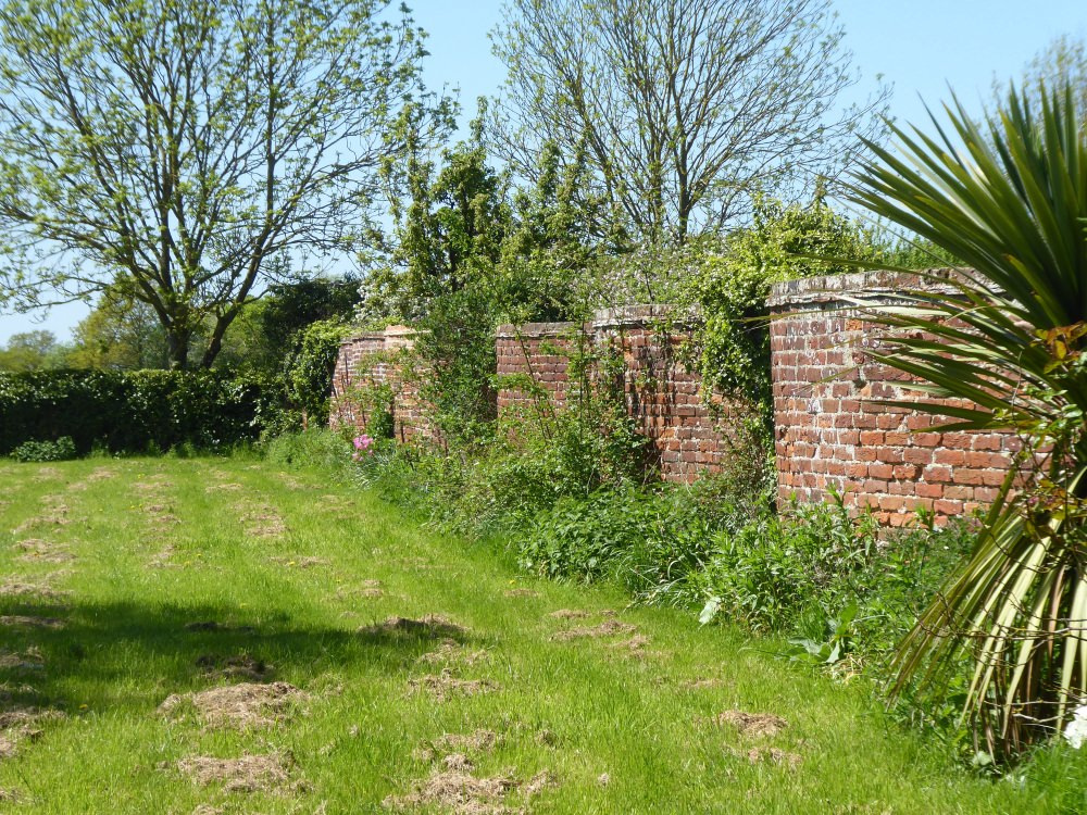
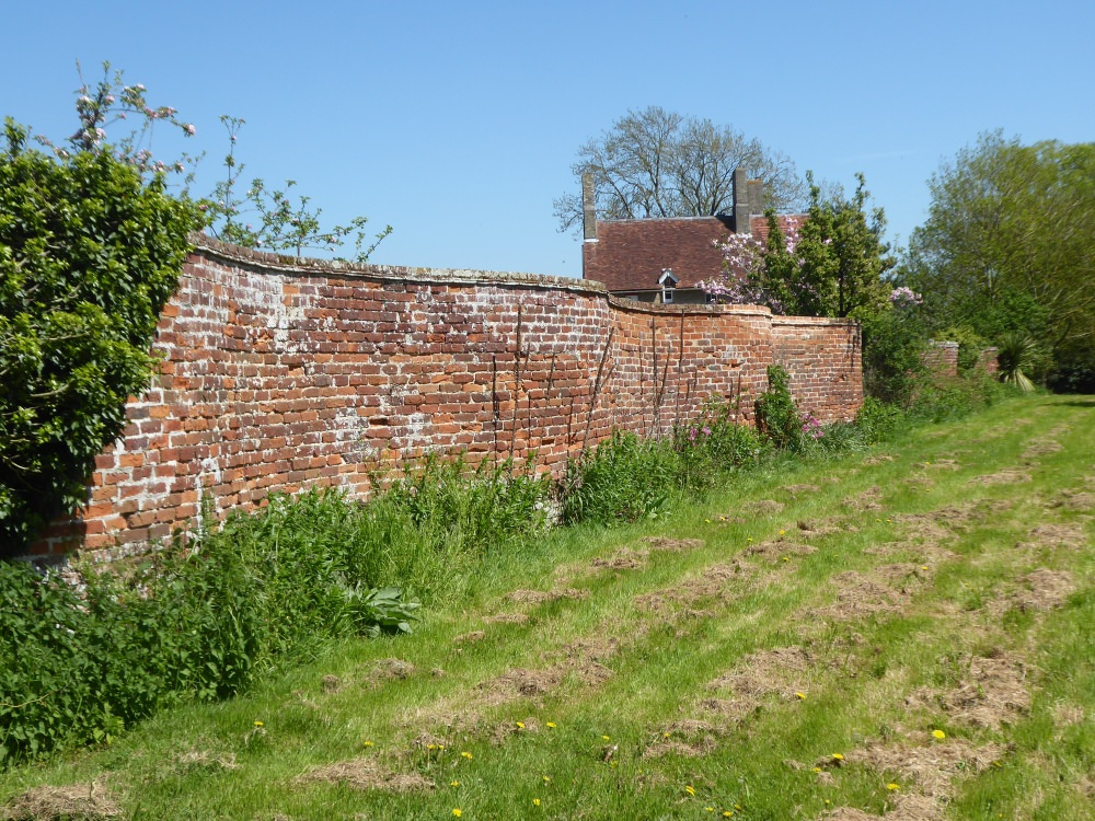
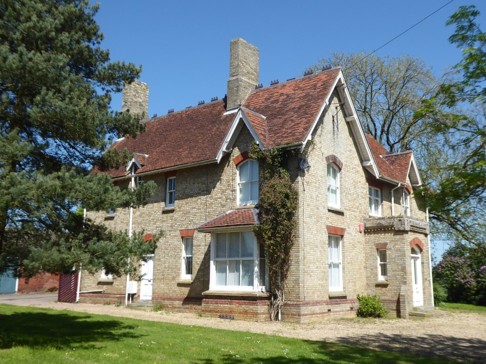
This is similar to the expansion proposed in April 2019 (below), except for the exclusion of Babergh Place Farmhouse, now known as Ardley House, and the adjacent crinkle-crankle wall
The Conservation Area Appraisal can be viewed at this location
Local authorities are required by law to ‘preserve and enhance‘ the appearance of Conservation Areas in the course of their planning duties, and also to review their boundaries periodically and bring forward proposals for preserving and enhancing them.
One of the main reasons for having an up-to-date Appraisal is to use it as a reference tool for planning officers who may be making development decisions concerning areas that they are not familiar with. Indeed, they may not even have visited the area, so it’s important that they are able to gain as much information as possible from the document.
The original GW Conservation Area was centred on the Grade-1 listed church with an extension East to Upsher Green as can be seen in the map below:-

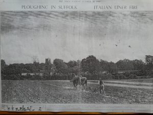
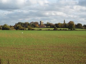
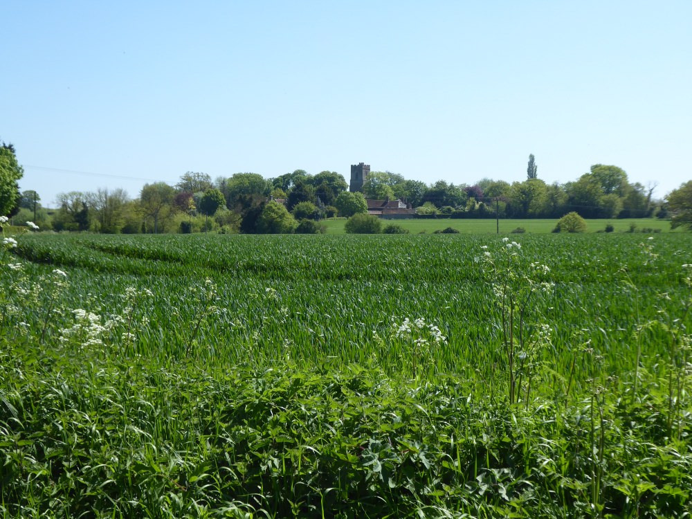
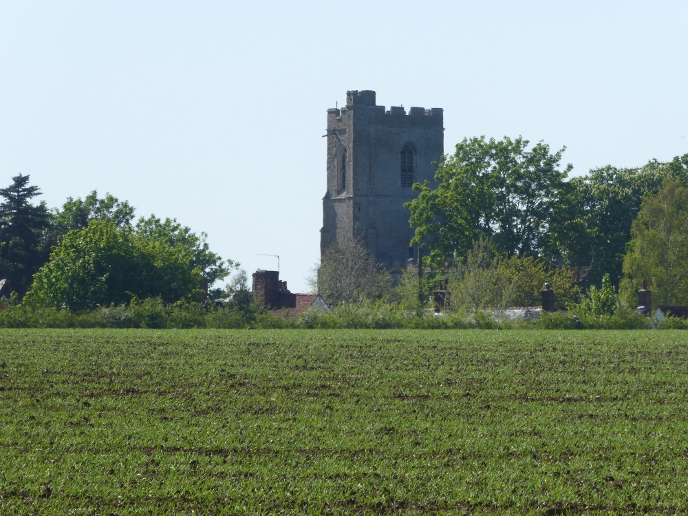
On the 22nd of October 1935, The Times published a photo taken from the B1115 of the view across the fields towards the church. Alongside that photo (below) is a photo taken over 80 years later, and showing how little the view has changed in that time.
Heritage Assets
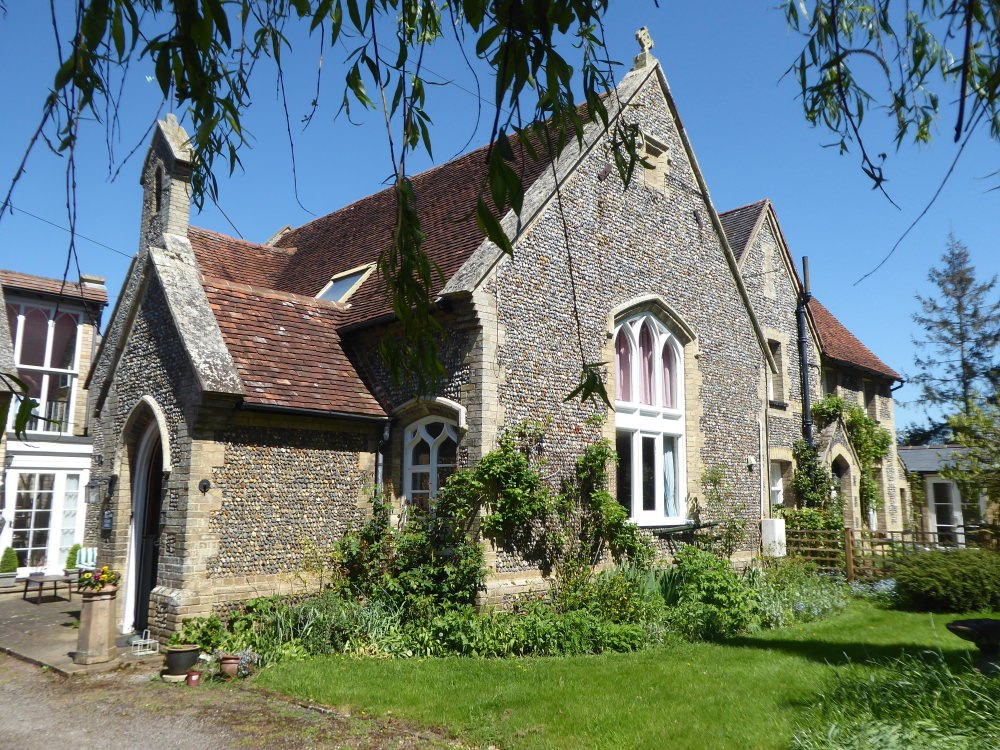
As well as the Conservation Area there may well be other Heritage Assets around the village which may be of relevance and interest to planners.
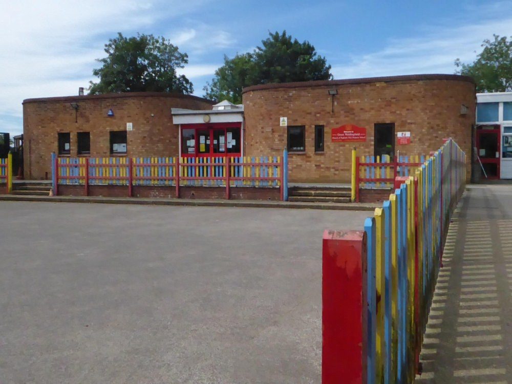
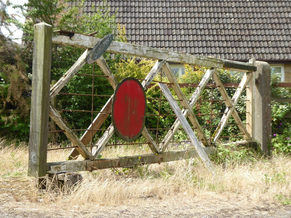
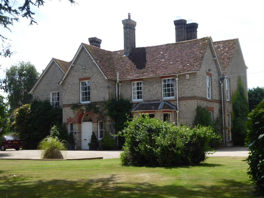
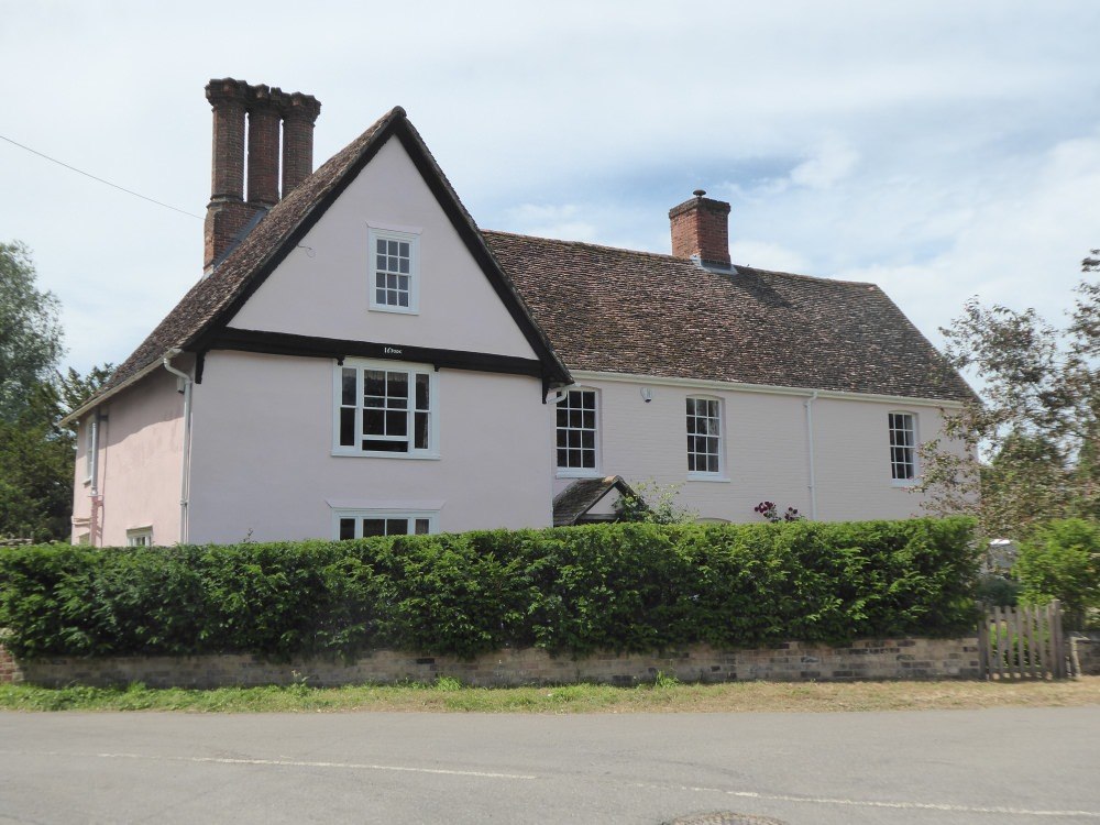
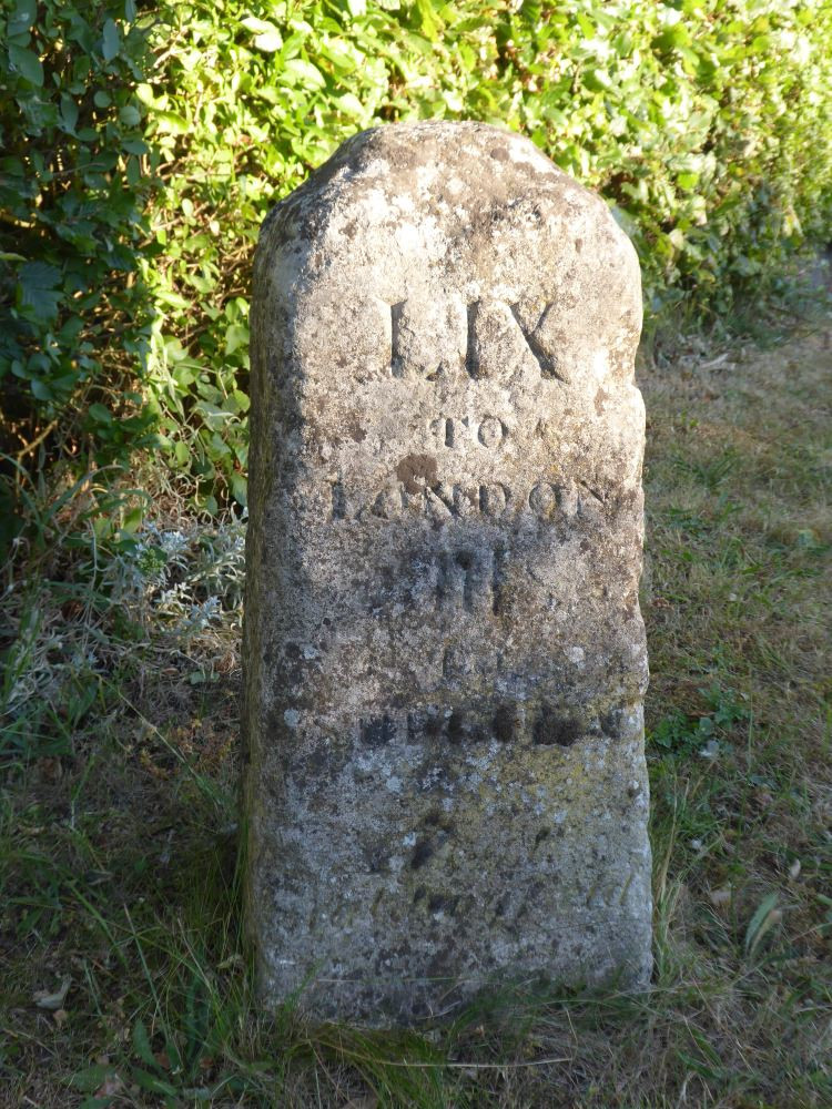
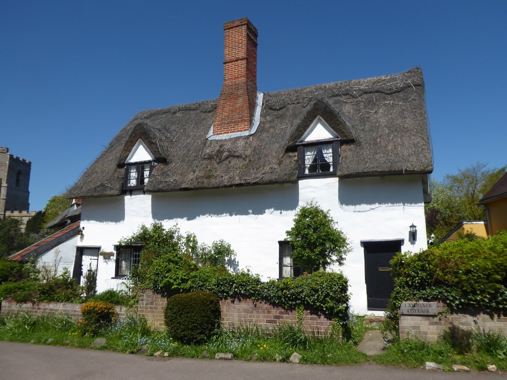
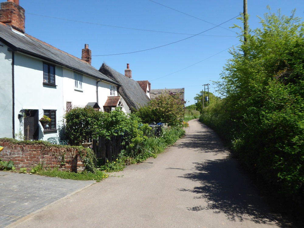
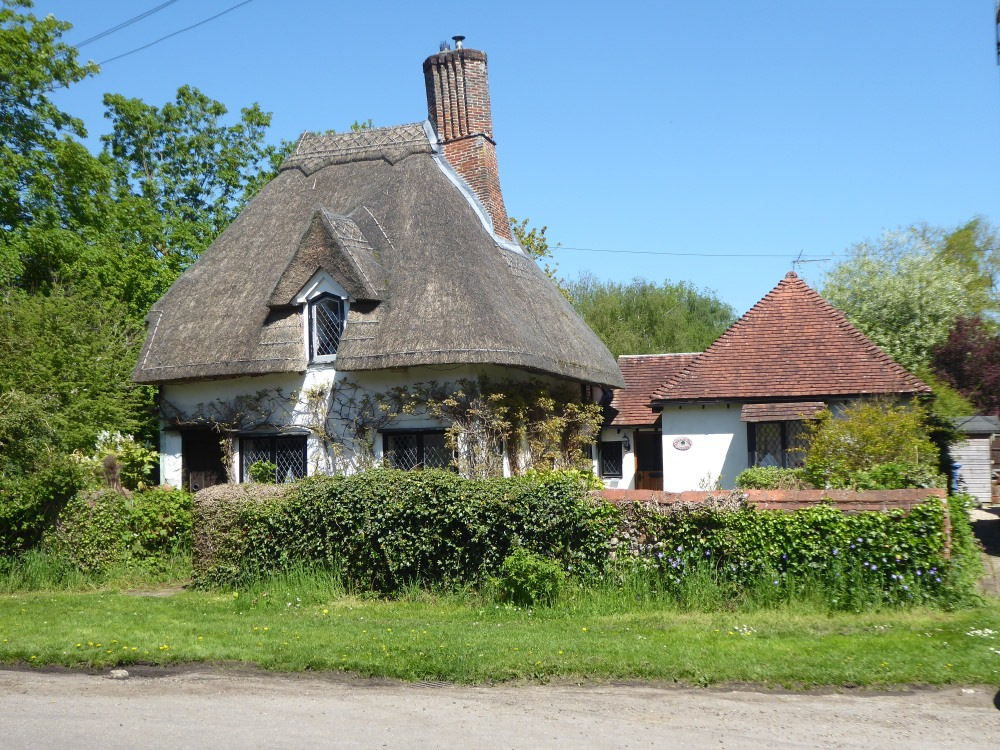
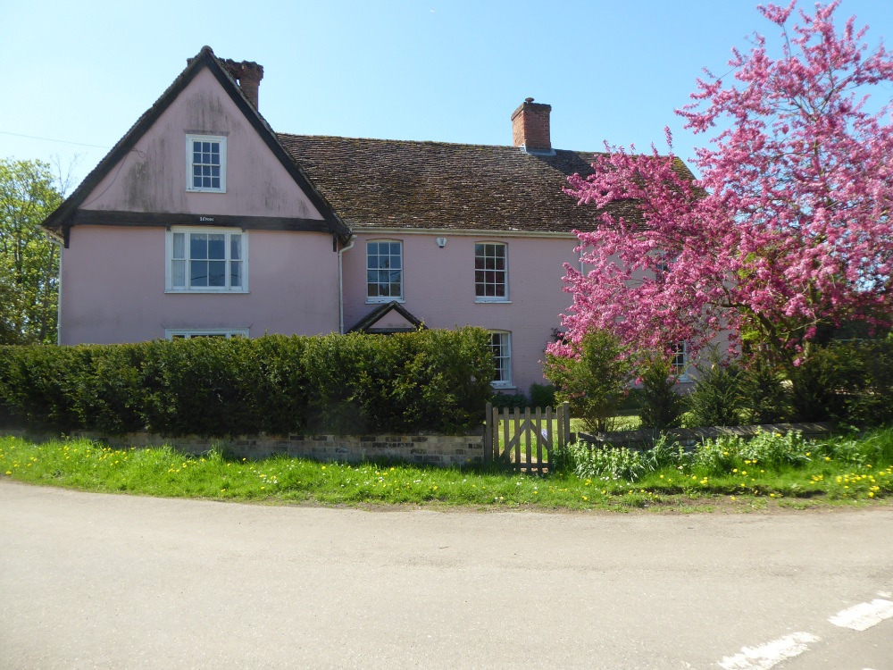
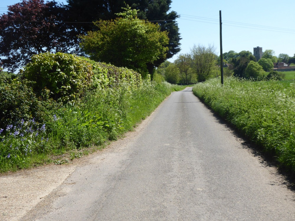
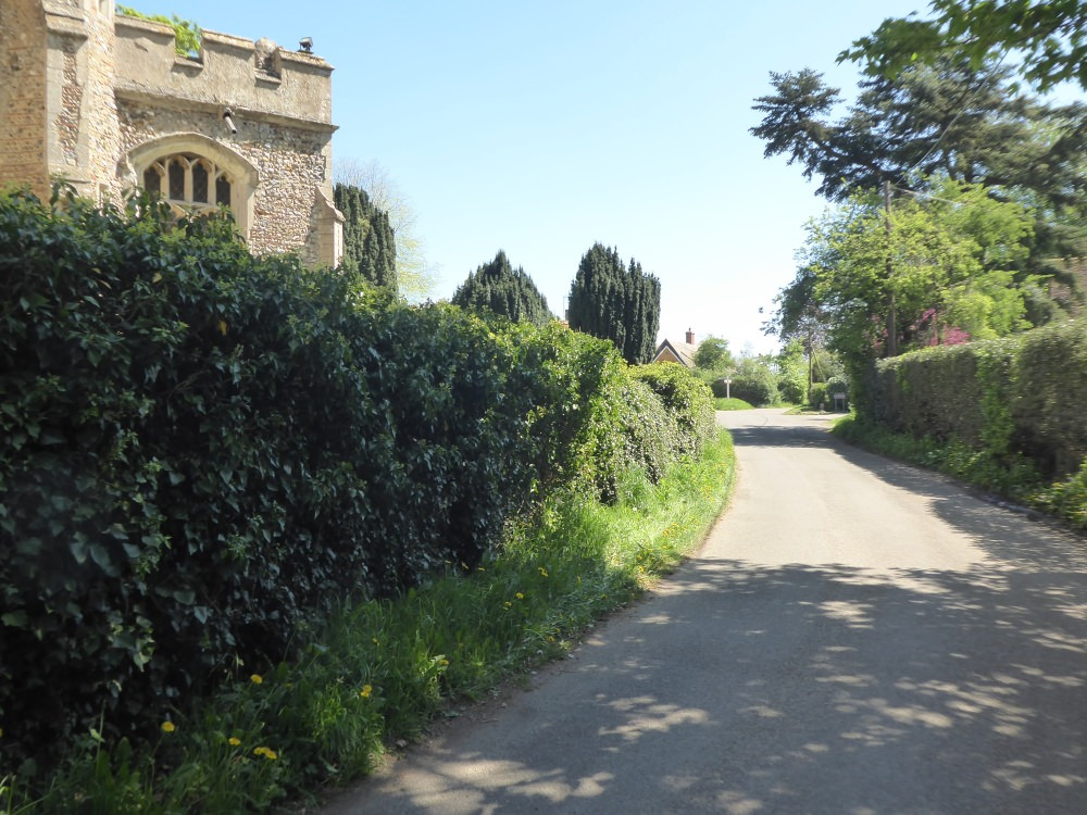
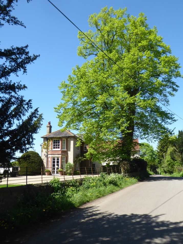
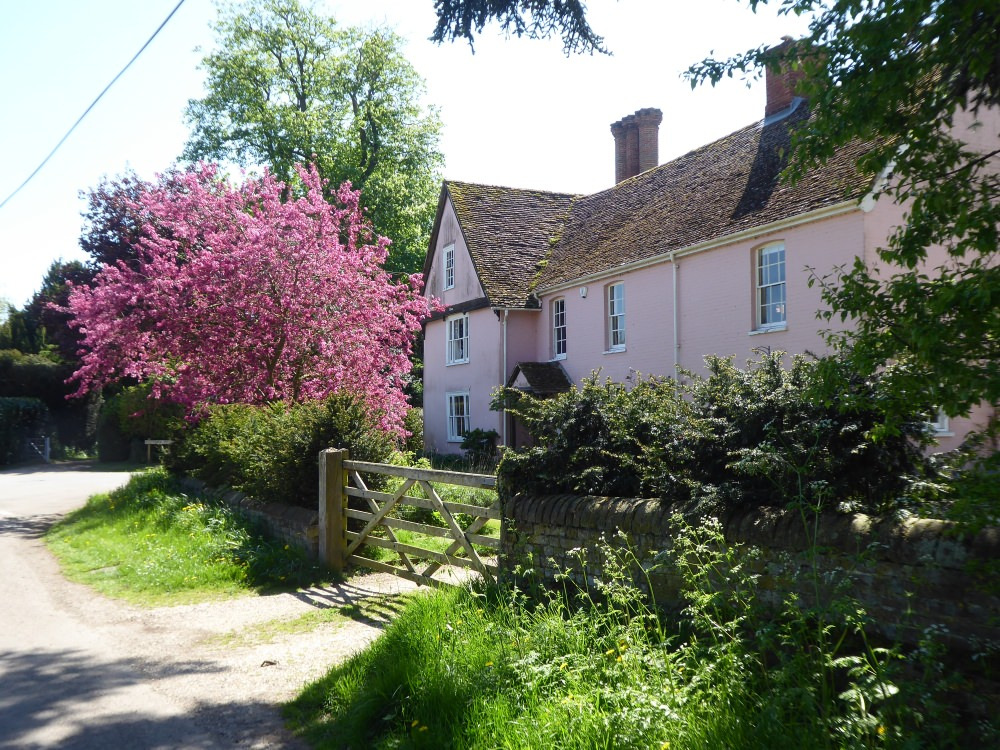
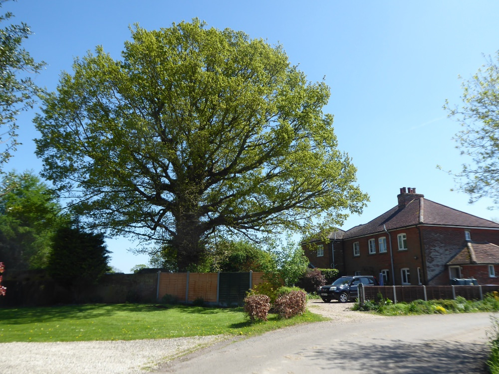
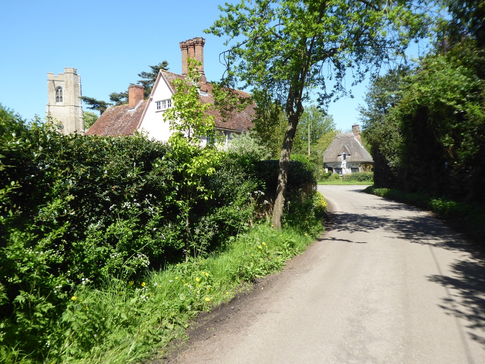
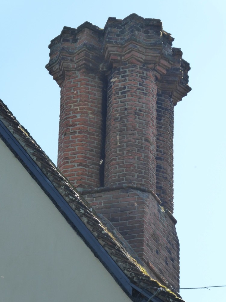
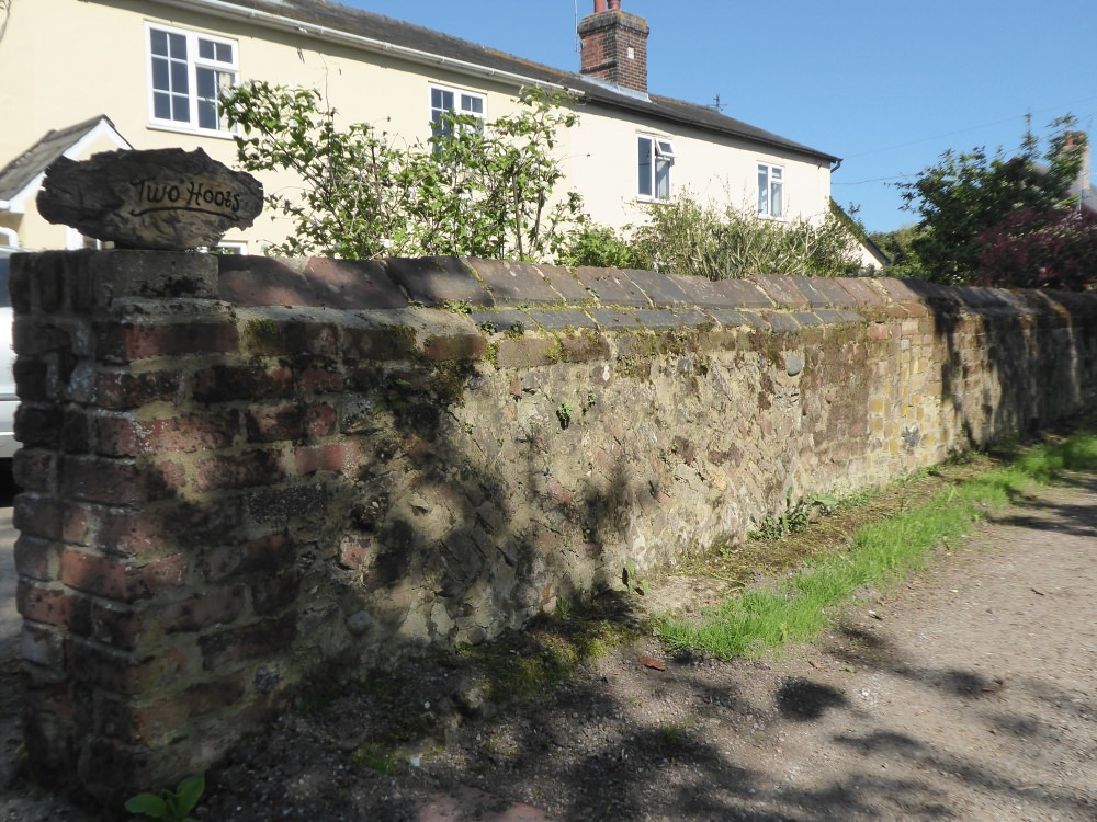
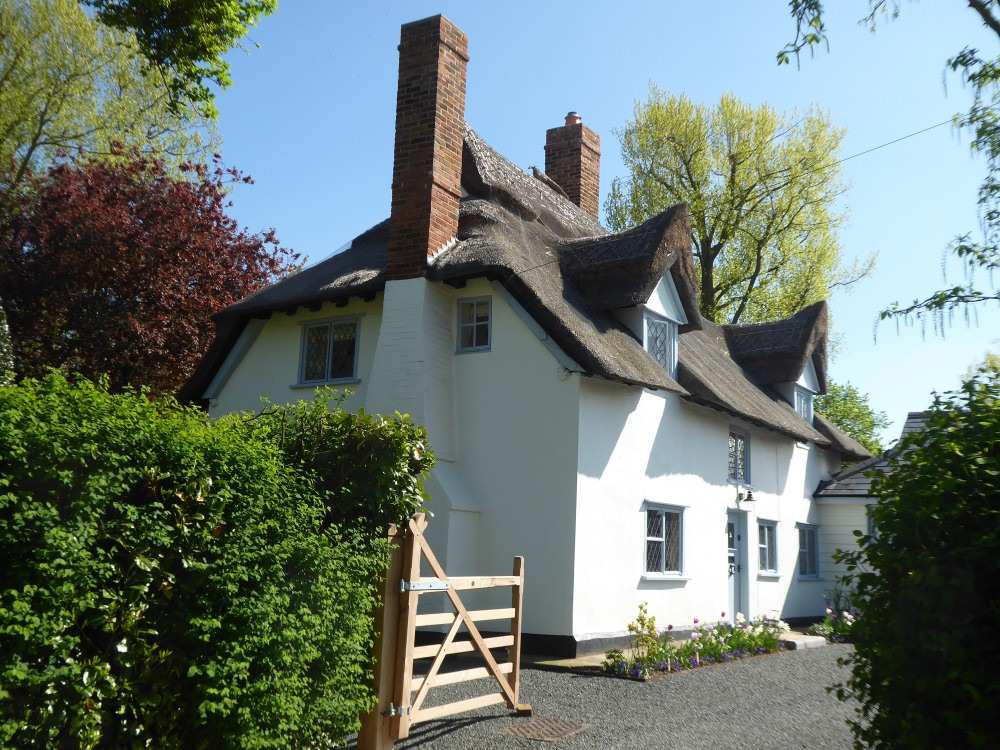
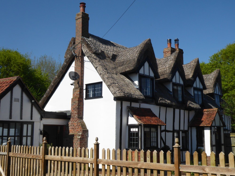
Here are some photos of parts of the Conservation Area and Heritage Assets from around the village.

What is a Conservation Area?
After the Second World War the government recognised that there was little to protect historic buildings, and started to take a rather piecemeal approach to do so. However there was widespread public concern about the pace of redevelopment in historic towns and cities, and unregulated development in villages, so in 1967 the Civic Amenities Act was introduced, and with it the concept of Conservation Areas was born.
The purpose of a Conservation Area was to control:-
- the demolition of unlisted buildings
- works to trees
- unsympathetic alterations to houses that would otherwise not need planning permission
- outdoor advertising
District Councils are required by law to ‘preserve and enhance‘ the appearance of CAs in the course of undertaking their planning duties; to review their boudaries from time to time and to bring forward proposals for preservation and enhancement.
There are currently around 10,000 Conservation Areas in England
Useful Links
Here are some links to resources which you may find useful:-
Designation and Management of Conservation Areas (Historic England)
Living in a Conservation Area (Historic England)